
Visualize the Future of Your Land
Discover cutting-edge drone photogrammetry solutions from Adamant Labs, designed to transform your approach to architectectural and landscape planning. With unparalleled precision and efficiency, our drones bring the future of mapping directly to your projects.

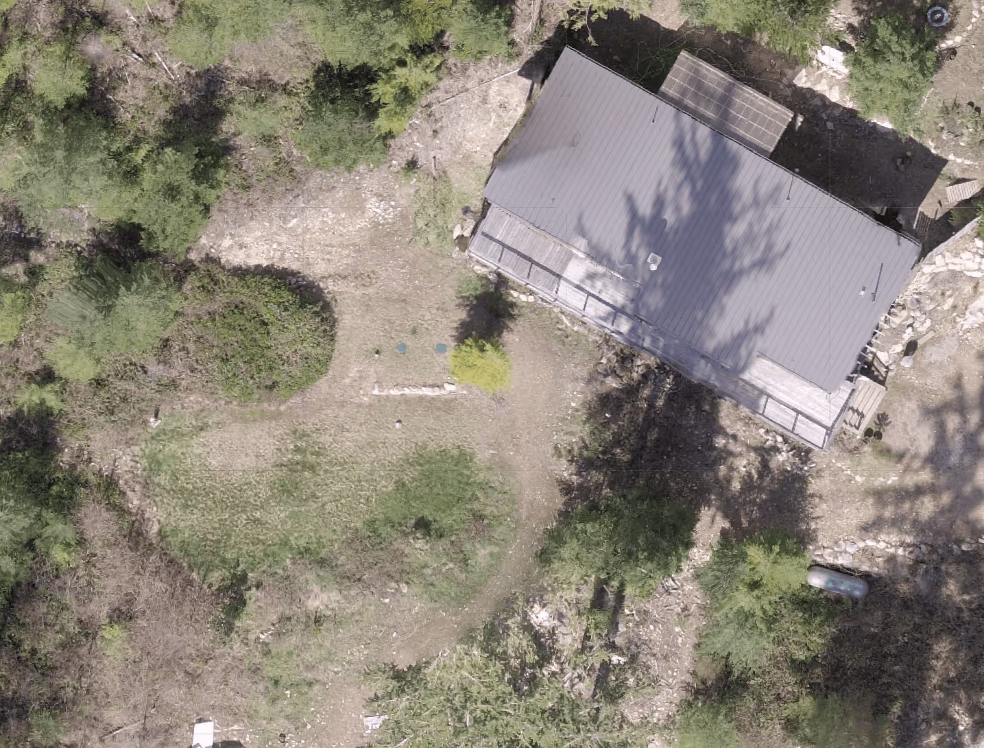
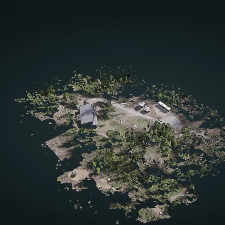
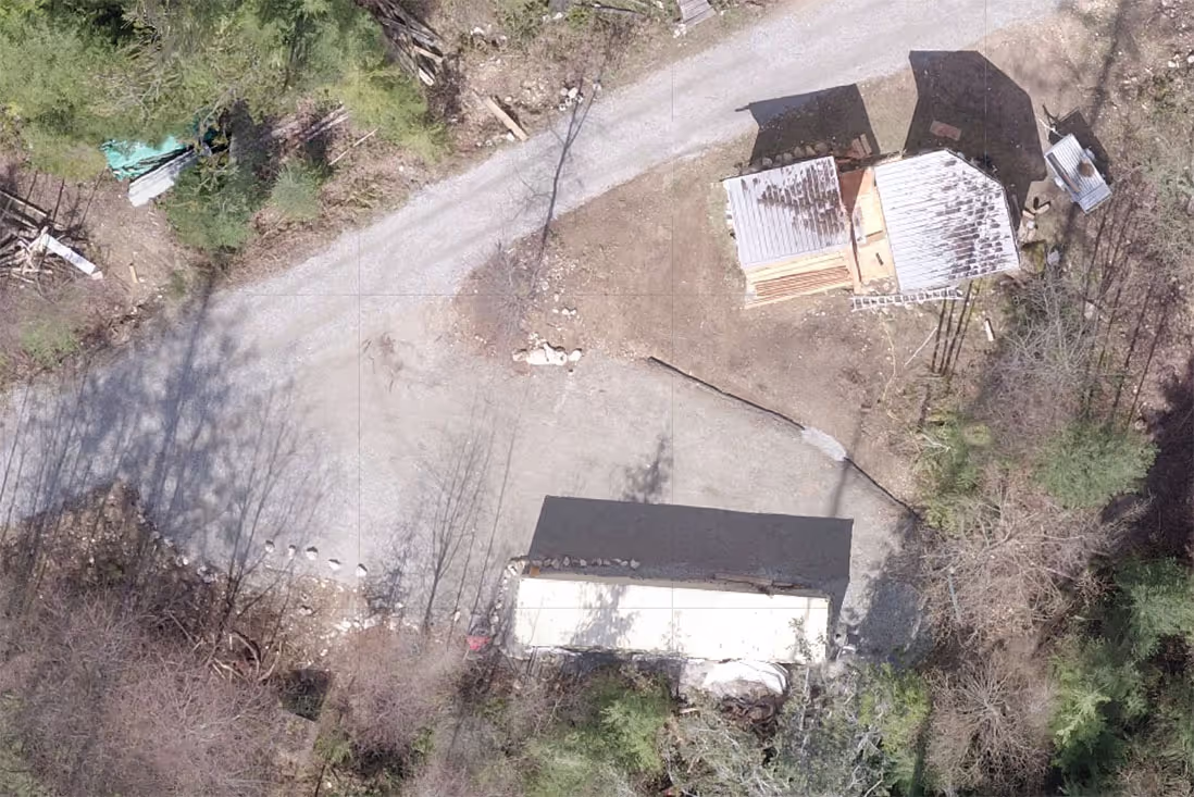
Capture Property and Structures in 3D
Using Drone Photogrammetry technology, we can quickly create a detailed spatial model, including point cloud and textured mesh.
Ultra Detailed Mapping
Spatial drone scanning provides detailed overhead maps way beyond what satellite imagery can provide. Unlike satellite images, drone scanning can produce up-to-the-minute, crystal-clear visuals. This allows for the identification of small features and subtle changes in the landscape that would be impossible to detect with satellite technology.
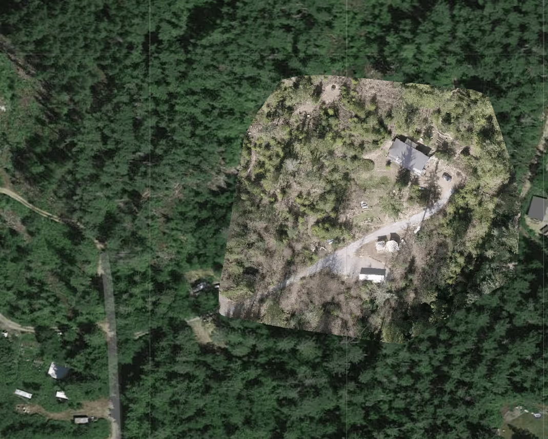
Orthographic map from drone scanning
Slope and Terrain Analysis
Analyzing slope and terrain maps is a foundational aspect of planning for excavation and fill in construction projects. It enables engineers and construction managers to make informed decisions, optimize project design, ensure safety, and minimize environmental impact, leading to a more efficient and sustainable construction process.
Explore and Discover
Get a better understanding of the topography, alignment and layout of your property. Work with Builders, Architects and Designers to plan out your future.
Plan New Buildings
Integrate 3D renders of building plans to place them in situ. Find the best location for new construction. Identify site challenges virtually.
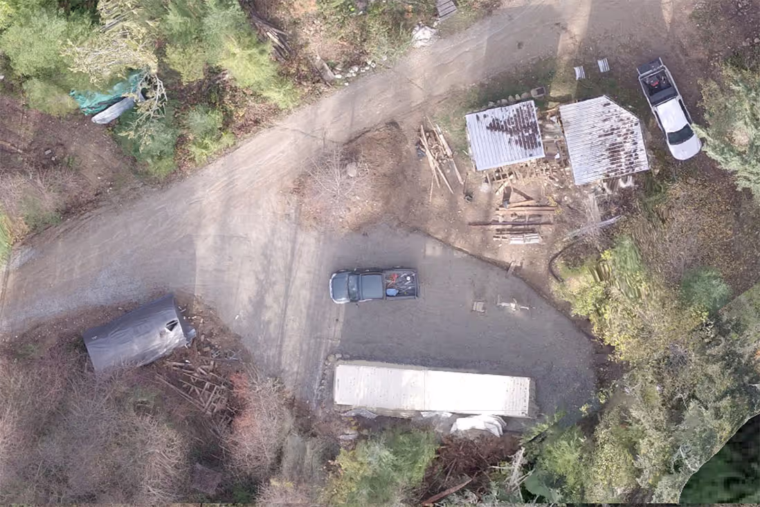
Track Progress
Repeat scanning to monitor progress over time:
Augmented and Virtual Reality
Now that you have a spatial model of your land and buildings, you can explore and plan in Augmented Reality and Virtual Reality

Empowering Businesses to Thrive in the Digital Age
We can help you take full advantage of the Canadian Digital Adoption Program. We are dedicated to helping businesses leverage the power of digital technology to drive growth and success. Our team of experts will guide you through the process, providing support and resources every step of the way.

Drone photogrammetry uses drones to capture aerial photographs, which are then processed to create 3D models or maps.
Scans usually take a few hours and processing a few hours more back at the studio. Design and modification time depends on the amount requested.
Yes, it reduces traditional surveying time and costs, providing a high ROI for various applications.
Yes, we provide ongoing support in working with the outputs we provide.
Let's Get Started
Tell us about yourself so we can connect and help out.